 It's salt. And there's a lot of it in Death Valley. Sometimes it is borax as well, which they mined in these parts back in the day. This particular place is called Badwater. There's not much here, just a parking lot, some stairs that lead down to the salt flats, and a green sign with white lettering perched high up in the mountains aside denoting sea level.
Why am I doing a handstand in the lowest place in North America? Why not.
 |
| Looking South back upon Death Valley, Furnace Creek is almost visible in the left center of the picture. The valley here is very wide, and dunes have formed from sand blowing down the center. |
 |
| Here, a fault scarp can be seen. This scarp is most likely from one magnitude 7.0 earthquake. |
This is a perfect example of what is called a megabreccia. They form when grinding action of a fault is so strong that the rocks shatter. It also means that the rocks were not at a very high temperature or pressure when they fractured, which makes it hard to explain why they build up so much energy. Most breccias have clasts on the order of pebbles, and a large breccia may have a cobble sized clast. These clasts are the size of volkswagon beetles, and cemented in with a solid cast of calcite. This wall is in the lower stretches of Titus Canyon, a small one-way 4wd road through a beautiful and sometimes forboding narrow canyon.
 |
| Looking South from Furnace Creek to the Panamint range, you can see snow on Telescope peak at ~11,000 feet. |
This is a view of the gold mine, which will have to be another post all of its own.
 Conglomerate; these were all once rocks that you may see in a river, but have been stretched into cigar shapes due to tectonic stresses.
A large drainage was diverted into a much smaller drainage to save a hotel from seasonal floods that contained a lot of alluvium. In just 50 years, this drainage has been formed, incising ~30 feet.

Darwin Falls, the last thing you would expect to find in Death Valley
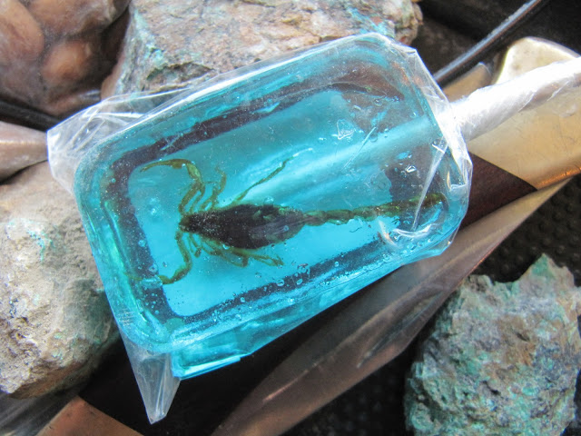
Scorpion Lollipop, and some turquoise found along the way.
Joshua Trees
Sand dunes in the Saline valley. You can see that the alluvial fans are a rough surface. They are covered with cactus and some brush. The scale here is huge though, because the cactus in the foreground may only be about a foot tall, the line of dots below the dunes are cars, about two miles away, and the dunes themselves are approximately another mile from there.


